It’s never been easy for me to say good-bye to summer. A creature of the sun who had the poor luck to grow up in the snowy northeastern United States, I spent my first twenty-three winters hiding inside and eating pastries, one step up from a hibernating bear. I get stir-crazy when the weather gets cold, because I love outdoor activity– hiking, walking, running, biking– but hate layering, and shivering, and looking around at a dead, colorless landscape.
It’s finally getting chilly in Lyon and the leaves have begun to change– this timeline is already an improvement on the end-of-October snow flurries of Massachusetts. But one of the best things about living here is that I’m also a short train ride away from the South and its Côte d’Azur, where the weather is notably milder. The forecast being exceptionally good for the Marseille region this past weekend (70-75, sunny, calm), I jumped on a train to do a hike that’s been on my list for a while: walking from Marseille to Cassis through the Calanques National Park.
A calanque is a sort of cliff-sided inlet, and this well-maintained park is criss-crossed with trails that take you along the rocky coast so you can gawk at these inlets and their gemstone-pretty blue water, or “climb” (fall) down steep “paths” (rockslides) into them. Trails are mostly well-blazed, though the lack of consistency common to French signage and the sheer number of different trails makes it easy to get off-track. This is only really an annoyance, because throughout most of the hike both Marseille and Cassis can be seen at a distance, making general orientation easy even when lost. At one point I ran into a panicked couple in the woods who looked horrified at my suggestion that we just “walk toward Cassis until we pick up the trail again” (for the record: my plan worked, and they’re still in the woods for all I know).
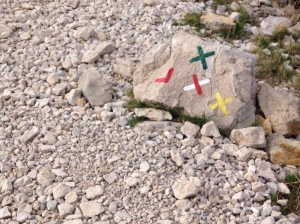
I mainly tried to follow the GR 51/98, which runs closest to the coast and was the route recommended by the little book I brought with me (this one). I wanted to hike from Marseille to Cassis, because I’m not a huge fan of Marseille and I thought it would be nice to end at a new destination. The problem is that my guide describes the reverse route from Cassis to Marseille, something I didn’t think would be a problem until I was about halfway to Cassis and lost, tiring myself out doubling and redoubling back on the rough trail trying to figure out where I’d gone wrong. I did a lot of “oh-for-fuck’s-sake”-ing.
What a place to be lost, though! My lungs, normally subsisting on Lyon’s relatively putrid factory-valley air, sucked up that clean coastal air like it was a fine liquor. Not only was the air fresh, but it was also perfumed with flowers and spices and dusty rock and sea. Little bits of fall orange dotted the brush, but so did the pinks, purples, and yellows of blooming flowers and the deep green of lingering summer.


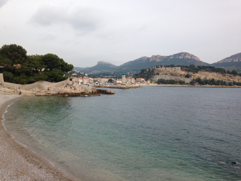
Four main views dominate the hike: Marseille, various calanques, rocky valley and forest, and Cassis with its Cap Canaille backdrop. The chalky white rock formations contrast beautifully with the bright blue water, and the strange redness of the Cap Canaille looks like another world on the horizon.
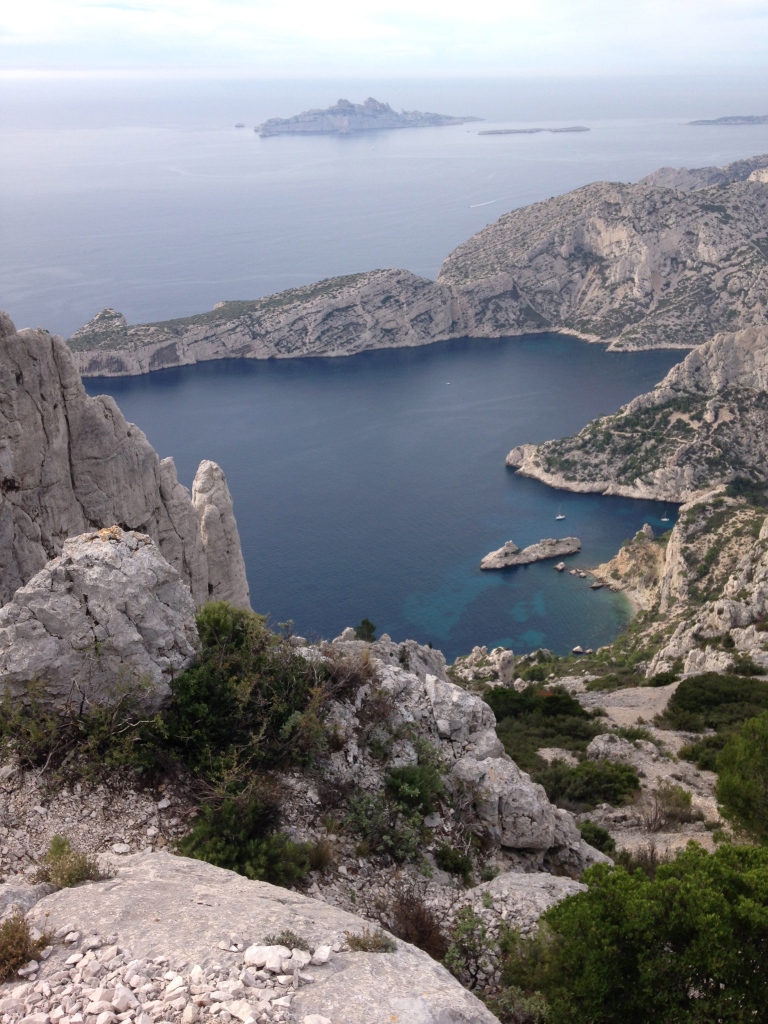


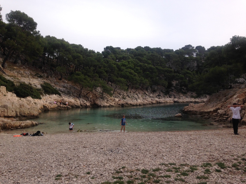
As the trail approaches Cassis, it dips down into the Calanque de Port-Pin (there are opportunities to leave the main trail and get down into some of the other calanques as well, like the popular Calanque d’En Vau). This is a good place to test the water and take a deep breath before making the last push to Cassis, skirting the Port-Miou, a meandering, narrow calanque filled with boats, and hopping over one more hill to the centre-ville.
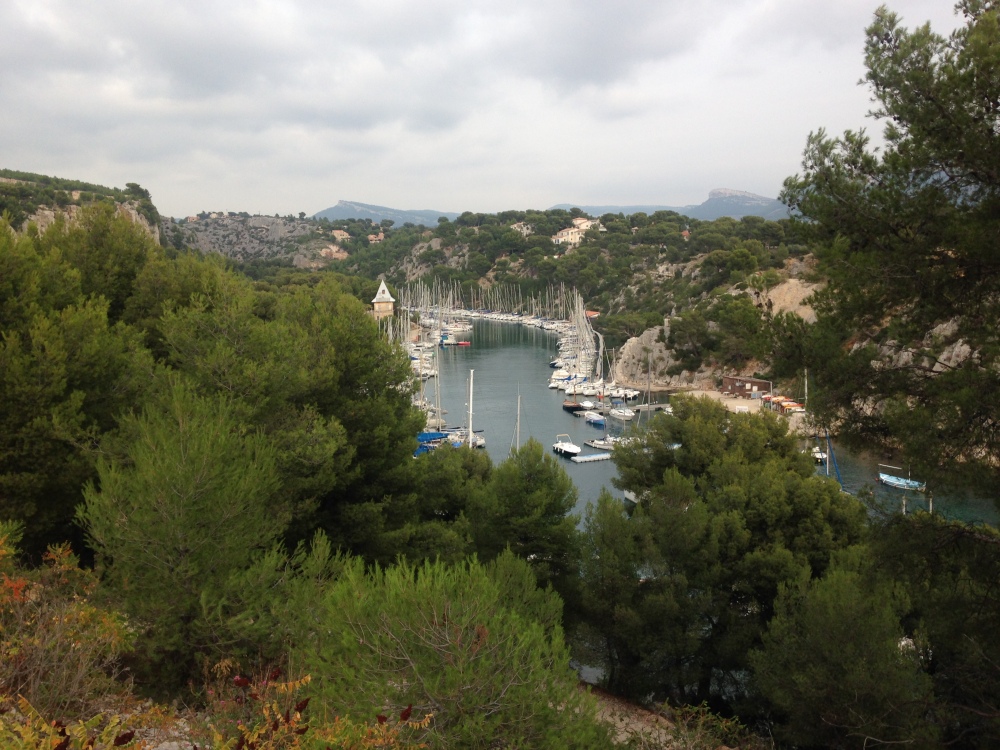
A complete delight, Cassis is now on my retire-here-if-I-ever-get-rich list. It’s a quaint sanctuary nestled between the Cap Canaille, looming just beyond the relatively tame bluffs on one side, and the rugged Calanques National Park peeking over the hill on the other. The streets are narrow and typically Provençal, with beige stone and touristy lavender shops and little fountains in little public squares. Still, it feels livable, and to an outsider’s eye it seemed there were as many locals as tourists sitting at the seaside cafés this weekend, just feet from non-yacht boats being tended. Of course, the atmosphere might be a bit different in the summer, but this weekend I was ready to set up camp and stay.


Practical information:
Time required: Ha! My book suggested this would take 5.5 hours. However, the book did not count on me walking an extra 3 miles before the trail head (see “Transportation” section below), nor did it count on me getting hopelessly lost halfway through the day. I’d say the estimate is good, but extenuating circumstances can easily take this hike up to 7 or 8 hours. Keep an eye on the time and the light when the days are short…
Level of difficulty: Tough. There’s a decent amount of climbing, and the trail is covered in those loose rocks that are big enough to trip over but too small to be at all stable. Good shoes and a strong heart are essential, especially because there is really no quitting point. If it’s too much for you, you’ll have to either suck it up and persevere, or turn around and go all the way back.

Transportation: To do the route I did, take the 21 bus from Marseille’s Place Castellane to the terminus at Luminy and follow the signs to the park (less than a mile). There are other trails that can be accessed from the 19 and 20 buses. Be aware that sometimes bus routes/schedules change without announcement– on the day I hiked, there was an event that caused the driver to drop me off a good three miles from the trail with a very French shrug…
Other: It’s essential to research the weather reports before going to the Calanques National Park. The park is closed to the public through much of the summer because of fire risk and heat, and at other times of the year the Mistral, a wind so ferocious it has a name, can make hiking unfun at best and dangerous at worst. Judging by comments I overheard on the trail, I was lucky to get such a calm and windless day in late October.
I also recommend staying overnight on at least one side of the hike, in case it takes you longer than planned. Cassis does have a train station, but it’s well outside the city center, meaning that on both ends you will rely on a long walk or not-super-reliable transportation to get you in/out of town.
BRING A MAP. I was not able to find one at the last minute and so relied on cross-referencing Google Maps on my service-less phone with the small maps and backwards descriptions in my guidebook. Ultimately, using my eyes and brain and sense of direction was what got me to Cassis, but I could have saved some time with a good trail map.
Finally, if you lack my Mediterranean genes and burn easily, apply sunscreen liberally. There is no shade. I repeat: there is no shade.
I’ve been to both Cassis and Marseille but I’ve never done this hike… Definitely something to do next time I’m down south!! Xx
LikeLiked by 1 person
Love the article! Love the swearing! And totally can’t wait to do the hike!
LikeLike
Thanks!
LikeLike
You are the queen of hiking. And your photos are SO BEAUTIFUL!
LikeLike
Thanks! So are yours!!! Let’s have a photo party soon?
LikeLike
I am not totally sure what a photo party is but it sounds awesome and I am so there. (Maybe at the Bicycletterie because I’ve been craving one of those toasted sandwiches.)
LikeLike
I will be in Marseille from 10/8 to 10/16. I am an avid year round, expierenced hiker. You wrote a great article. Thank you.
Jeff
LikeLike
Thanks Jeff! Enjoy your trip!
LikeLike
I’ve just finished the hike, did it the other direction though, and straight away wanted to do the elevation on these climbs. Any idea?
And ye, so many “for duck’s sake”! Had to turn off my hiking record to save up the battery the moment i realized it’s not going to be a 3 hour hike, but that wasnt 16 km!
LikeLike
No idea about elevation, but would be great to know!
LikeLike
And yeah, it’s a decent walk! Definitely not 3 hours! Did you enjoy?
LikeLike